
Toronto and Region Conservation Authority’s (TRCA) Watershed and Ecosystems Reporting Hub allows the user to interactively explore information about watersheds and the waterfront in the Toronto region.
The Reporting Hub identifies current conditions by theme, and explains the importance of different environmental indicators for understanding watershed and ecosystem health. It also shows how conditions are changing over time, and where we are relative to where we want to be.
START EXPLORING THE REPORTING HUB NOW
DISCOVER THE INDICATORS
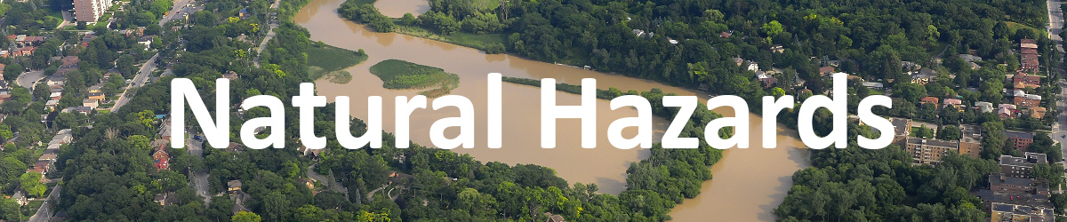
Flooding and erosion risks can be greatly reduced with
proper planning and remediation.
WHAT ARE THE KEY INDICATORS?
|
FLOODING: Riverine Flooding • Lake Ontario Shoreline Flooding |
|
EROSION: Riverine Erosion • Lake Ontario Shoreline Erosion |
LEARN MORE ABOUT NATURAL HAZARDS
• • • •

The climate is changing and we need to be prepared.
WHAT ARE THE KEY INDICATORS?
| CLIMATE TRENDS FOR THE TORONTO REGION |
|
FUTURE PRECIPITATION: Annual Average Precipitation • Annual Extreme Precipitation • Seasonal Extreme Precipitation |
|
FUTURE TEMPERATURE: Annual Average Temperature • Extreme Heat |
LEARN MORE ABOUT FUTURE CLIMATE
• • • •

Land is a precious resource that needs to be used wisely.
WHAT ARE THE KEY INDICATORS?
|
LOW IMPACT DEVELOPMENT (LID): LID Supportive Policies and Programs |
• • • •
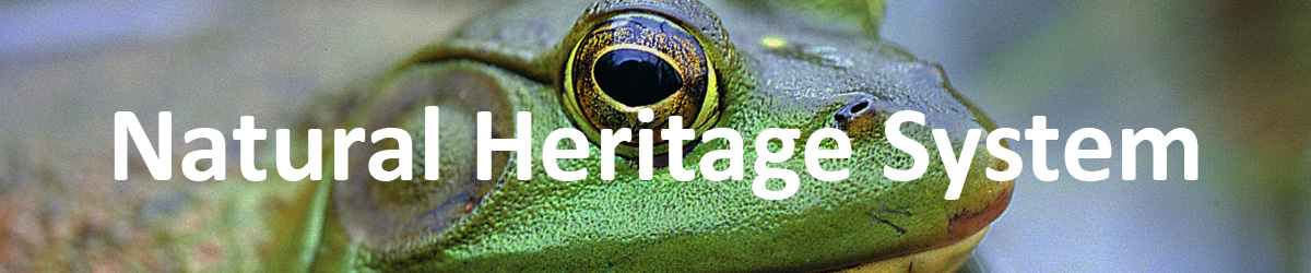
If nature is healthy, humans are healthy.
WHAT ARE THE KEY INDICATORS?
|
NATURAL COVER: Natural Cover Quantity • Natural Cover Quality |
|
TERRESTRIAL BIODIVERSITY: Forest Vegetation • Forest Birds • Wetland Vegetation • Wetland Birds • Frogs and Toads • Meadow Birds |
LEARN MORE ABOUT THE NATURAL HERITAGE SYSTEM
• • • •
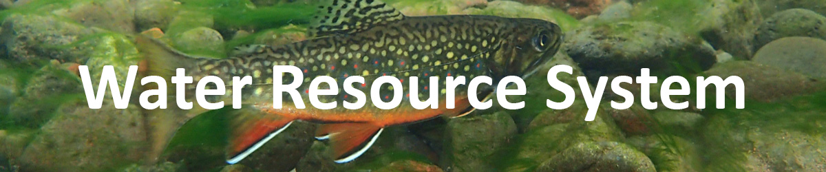
Water is one of the most important substances on earth.
WHAT ARE THE KEY INDICATORS?
|
AQUATIC COMMUNITIES AND HABITATS: Fish Communities in Streams • Benthic Communities in Streams • Stream Temperature |
|
GROUNDWATER QUANTITY: Groundwater Levels |
LEARN MORE ABOUT THE WATER RESOURCE SYSTEM
• • • •

Clean water is essential for all life.
WHAT ARE THE KEY INDICATORS?
|
STREAM WATER QUALITY: Water Quality Index |
|
GROUNDWATER QUALITY: Chlorides in Groundwater • Nitrates in Groundwater |
LEARN MORE ABOUT WATER QUALITY
• • • •
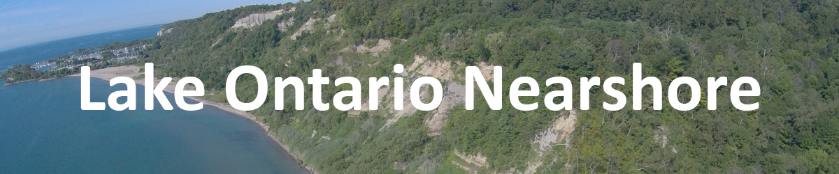
What happens on the land affects the lake.
WHAT ARE THE KEY INDICATORS?
|
AREA OF CONCERN STATUS: Beneficial Use Impairments (BUIs) • BUI: Degradation of Aesthetics • BUI: Beach Closures |
|
NEARSHORE FISHERIES: Nearshore Fish Communities |
|
WESTERN DURHAM NEARSHORE WATER QUALITY: Nearshore Total Phosphorus • Nearshore E.coli |
LEARN MORE ABOUT THE LAKE ONTARIO NEARSHORE
GO DEEPER
Use the Data Portal to explore all of the data behind TRCA’s Watershed and Ecosystems Reporting Hub.
PLEASE NOTE:
- If your data needs are more specific you may contact us for additional information. A data-sharing agreement might have to be signed as a result.
- Data will be available for downloading through TRCA’s Open Data Portal at a future date.
QUESTIONS?
For more information about the Watershed and Ecosystems Reporting Hub, please contact reportinghub@trca.ca