Use the information on this page to help you understand and prepare for flooding if you live near Black Creek in the Jane-Wilson area of the City of Toronto.
1. KNOW YOUR RISKS
The Jane-Wilson flood vulnerable cluster is located on Black Creek within the Humber River watershed. It is generally centered along Jane Street, extending north to Gravenhurst Avenue and south to Lawrence Avenue West.
A portion of the cluster is a provincially designated Special Policy Area (SPA). (see definition below).
Do You Live in an Area at Risk of Riverine Flooding?
USE OUR MAP VIEWER TO FIND OUT
If you’re not sure whether your home is in a floodplain, use TRCA’s map viewer to find out. Just enter your address in the search bar. If your home lies within the shaded areas, you could be at risk of flooding.

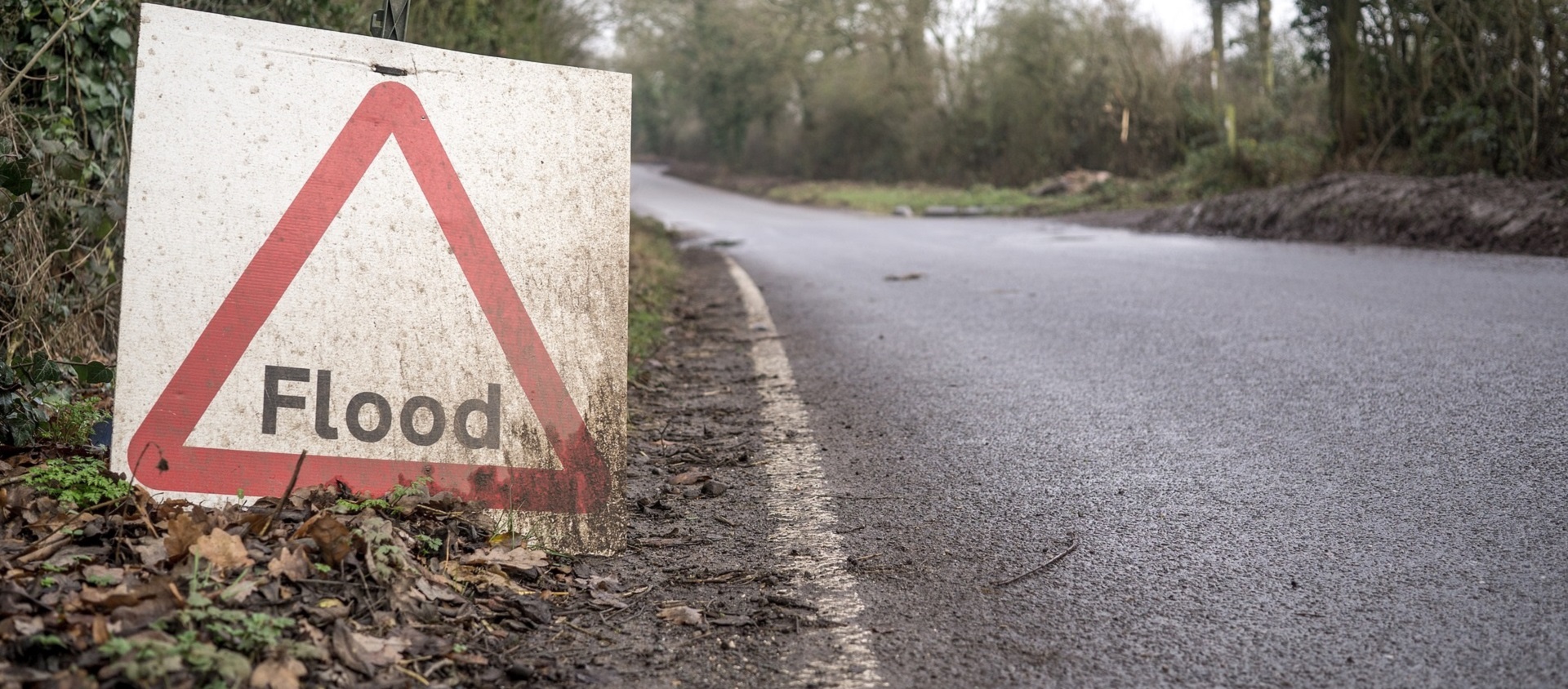
Understanding Flood Risk in the Jane-Wilson Area
KNOW THESE TERMS:
Flood Vulnerable Cluster: An area within the floodplain with a high concentration of buildings and roads that could be impacted by riverine flooding.
Special Policy Area (SPA): An area within a community that has historically existed in the floodplain and where site-specific Provincial policies are intended to provide for the continued viability of existing uses.
Dense urban development in the Black Creek floodplain and drainage area makes this area particularly susceptible to flooding. The Jane-Wilson cluster features multiple crossings with limited flow capacity, spill-points along low-lying roads, and properties directly alongside the narrow channel.
This cluster has experienced flash flooding during sudden, intense thunderstorms.
The known flood locations are:
- The low-lying areas adjacent to the narrow concrete channel between Jane Street and Black Creek Drive are prone to flooding because the channel has limited capacity to move flows from large, severe storms.
- There is a low point in the Marlington Crescent area, from the vicinity of Heavitree Drive to the St. Gerard Majella Catholic School property, where Black Creek can spill from its east bank. The flood waters then flow south through an existing apartment complex back to the creek.
- There is a low point near the pedestrian bridge north of the Sheridan Mall, in the Kirby Road area.
- Flood risks exist along the Jane Street corridor north of Highway 401. Once the flow exceeds the capacity of the watercourse, the flooding can extend for some distance to the east and west of Jane Street, due to the relatively flat and poorly drained topography of area.
- Black Creek Drive between Maple Leaf Drive and Lawrence Avenue is prone to flooding. A portion of Lawrence Avenue west of Black Creek can also flood. When flow backs up behind the Maple Leaf Drive crossing, it can spill onto Black Creek Drive and continue southward.
What Types of Flooding* Can Affect Jane-Wilson Residents?
- Riverine flooding, which occurs when the water levels of rivers rise, overflowing their banks. Reducing riverine flood risk is under the mandate of Conservation Authorities like Toronto and Region Conservation Authority (TRCA).
- Urban or pluvial flooding consists of street flooding, basement flooding, and flooding of other low-lying areas due to the overflow of local drainage systems. Municipalities are responsible for managing this type of flooding.
*Did you know that there are several types of flooding? Different levels of government are responsible for different types of flooding. To find out who to contact during a flood, see BE PREPARED.
Flooding in the Jane-Wilson Area Can Happen at Any Time of Year
| WINTER: A rise in the water level or a thaw can break winter ice into large chunks, which can lead to jams behind culverts and crossings. | |
| SPRING: Rivers and streams can experience high flows in the early spring, as rising temperatures melt the winter’s accumulation of snow, causing water levels to rise. | |
| SUMMER: Intense, localized downpours from thunderstorms can quickly lead to flooding in smaller creeks such as Black Creek. The Jane-Wilson cluster also has a highly urbanized drainage area, making it particularly susceptible to flash flooding. | |
| FALL: Large wet weather systems, including tropical storms such as hurricane remnants (like Hurricane Hazel in 1954), can last for several days. Prolonged and heavy precipitation, on top of already saturated soils, can cause rivers to rise. |
Flood Protection Near Black Creek
The Black Creek Channel was designed to convey Black Creek flood waters through the highly urbanized area from Jane Street to Black Creek Drive.

Watershed: Humber River | Location: 401 and Jane Street, Toronto | Construction Date: 1963
How Will I Know If Flooding Is Forecasted?
- TRCA Operates a Flood Forecasting and Warning Program. If flooding is possible or about to occur, TRCA issues flood messages to designated individuals within municipalities, local agencies, school boards, the media, and members of the public who self-subscribe. LEARN MORE

- TRCA maintains a network of river and rainfall gauges. You can get real-time gauging information HERE.
2. BE PREPARED
When it comes to flood preparedness, everyone — homeowners, landlords, renters, and condo owners — has a role to play. You can take steps to prepare; just select a category below to find out more.
3. STAY INFORMED
Use the following sources to stay informed during a flood:
| • Check your local weather online, or on radio or television before you leave the house |
| • Check Environment Canada’s public weather alerts |
| • Sign up to receive TRCA flood messages |
| • Check your local municipal and public transit social media links (below). |
Social Media Alerts and Notices
Additional Resources
| • Emergency Management Ontario |
| • Ontario’s Emergency Management and Civil Protection Act: Disaster Recovery Assistance for Ontarians |
| • Public Safety Canada: Flood Ready – Tips for overland flooding and first steps to prepare your home |
| • Flood Smart Canada – Created in partnership with the Insurance Bureau of Canada, this resource is designed to help Canadians better prepare for flooding. |
| • Electrical Safety Authority: Flood Safety Information |
| • Intact Centre on Climate Adaptation: Flood Protection Resources |
| • Institute for Catastrophic Loss Reduction: Flood Resources |
Information About Flood Insurance