Use the information on this page to help you understand and prepare for flooding if you live near Stouffville Dam or Stouffville Flood Control Channel in the Town of Whitchurch-Stouffville.
1. KNOW YOUR RISKS
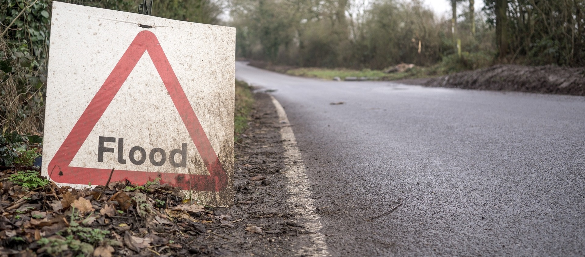
The Stouffville flood vulnerable area is located near Stouffville Reservoir and runs south, down Stouffville Creek to Hoover Park Drive between Thicketwood Boulevard and Harpers Gate Way.
Do You Live in an Area at Risk of Riverine Flooding?
USE OUR MAP VIEWER TO FIND OUT.
If you’re not sure whether your home is in a floodplain, use Toronto and Region Conservation Authority’s (TRCA) map viewer to find out. Just enter your address in the search bar.
If your home lies within the blue shaded areas (as shown below), you are within the floodplain and could be at risk of flooding.

Understanding Flood Risk in Whitchurch-Stouffville
Historically, the downtown Whitchurch-Stouffville area has been susceptible to flooding. The Stouffville Dam (see below) is designed to provide 100-year flood protection. However, there are a small number of properties (mostly municipal parkland) located on Burkholder Street that could see impacts during a 2-year storm event.
The area has also been historically subject to ice jamming, typically occurring south of Millard Street and the Stouffville Dam and Reservoir, and downstream to Main Street in the town of Whitchurch-Stouffville.
While the presence of Stouffville Dam provides functional flood protection, it can also — like any water-retaining infrastructure — pose an additional flood mechanism risk in the event of its failure.
Learn more from TRCA about flood risk in general HERE.
What Types of Flooding Can Affect Whitchurch-Stouffville Residents?
Did you know that there are several types of flooding? Different levels of government are responsible for different types of flooding. To find out who to contact during a flood, see BE PREPARED.
- Riverine flooding occurs when the water levels of rivers rise, overflowing their banks. Reducing riverine flood risk is under the mandate of Conservation Authorities like TRCA.
- Urban or Pluvial flooding consists of street flooding, basement flooding, and flooding of other low-lying areas due to the overflow of local drainage systems. Municipalities are responsible for managing this type of flooding.
Flooding in Whitchurch-Stouffville Can Happen at Any Time of Year
| WINTER: A rise in the water level or a thaw can break winter ice into large chunks, which can lead to jams behind structures such as bridges, culverts and crossings. | |
| SPRING: Rivers and streams can experience high flows in the early spring, as rising temperatures melt the winter’s accumulation of snow, causing water levels to rise. | |
| SUMMER: Intense, localized downpours from thunderstorms can quickly lead to flooding in smaller creeks. | |
| FALL: Large wet weather systems, including tropical storms such as Hurricane remnants (like Hurricane Hazel in 1954), can last for several days. Prolonged and heavy precipitation, on top of already saturated soils, can cause rivers to rise. |
How Will I Know If Flooding In Stouffville Is Forecasted?
- TRCA operates a Flood Forecasting and Warning Program. If flooding is possible or about to occur, TRCA issues flood messages to designated individuals within municipalities, local agencies, school boards, the media, and members of the public who self-subscribe. LEARN MORE

- TRCA maintains a network of river and rainfall gauges. You can get real-time gauging information HERE.
Flood Protection Near Whitchurch-Stouffville
Stouffville Dam
Stouffville Dam was constructed in 1969 to provide flood protection to the Town of Whitchurch-Stouffville.
Stouffville Dam Facts:
- The dam is located in the Duffins Creek watershed, on Millard Street at the Stouffville Conservation Area.
- The dam consists of an earthen embankment with a concrete box-type spillway.

Stouffville Flood Control Channel
Stouffville Flood Control Channel was constructed in 1980 to work in conjunction with Stouffville Dam.
Stouffville Flood Control Channel Facts:
- The channel begins at Main Street and ends at Burkholder Street.
- It is a gabion-lined channel designed to maximize the amount of water it can convey.
- TRCA dredged the channel in 2012 to restore capacity.
Learn more about TRCA’s flood control infrastructure HERE.
Stouffville Dam Emergency Preparedness Plan
TRCA regularly inspects and maintains Stouffville Dam. The dam remains safe, with no change to its associated risk. To ensure continued safety, we have recently adopted higher standards for emergency planning.
In 2016, the Canadian Dam Association created technical guidelines for dam emergency management. In keeping with these industry best practices, TRCA has developed an updated Stouffville Dam Emergency Preparedness Plan (EPP).
The EPP is a document that describes the procedures for responding to an emergency at a dam, and includes information to help first responders, residents, governments, agencies, and other stakeholders understand the types of emergencies that can occur at the dam.
Since the construction of Stouffville Dam, TRCA has never had to activate the EPP.
TRCA also works with the Town of Whitchurch-Stouffville on the Site-Specific Flood Response Plan (SSFRP) for Downtown Stouffville.
The SSFRP is a tool designed to help first responders and technical advisors such as TRCA respond efficiently to a flood event by consolidating all of the actions required for different flood levels into a single, comprehensive document.

Public Notification of Dam and Flood Emergencies
Public notification of flood threats occurs through TRCA’s Flood Forecasting and Warning message channels. Flood messages are published on our website and distributed via email and Twitter.
If you live near a river, it is a good idea to be aware of and subscribe to TRCA’s flood messaging.
In the event of a dam emergency that poses an immediate threat to life, TRCA works with the Ontario Office of the Fire Marshal and Emergency Management to trigger an Alert Ready warning.
Alert Ready is Canada’s emergency alerting system. It delivers critical and potentially life-saving alerts to Canadians through television, radio, and LTE-connected and compatible wireless devices.
Evacuations implemented by Whitchurch-Stouffville Fire and Emergency Services should be taken seriously. There may be very little notice to evacuate.
- If you receive notice to evacuate, do so IMMEDIATELY.
- It takes very little time for water to travel from the dam to downstream areas. The speed and force of the water can cause damage to structures and may pose a threat to life and safety.
- Move away from the river, towards higher ground outside the impact area. It may be necessary to move on foot.
2. BE PREPARED
When it comes to flood preparedness, everyone — homeowners, landlords, renters, and condo owners — has a role to play. You can take steps to prepare; just select a category below to find out more.
Get more preparedness tips from TRCA HERE.
3. STAY INFORMED
Use the following sources to stay informed during a flood:
| • Check your local weather online, or on radio or television before you leave the house. |
| • Check Environment Canada’s public weather alerts |
| • Sign up to receive TRCA flood messages |
| • Check your local municipal and public transit social media links (below). |
Social Media Alerts and Notices
Additional Resources
TRCA Open House Information Session
In January 2020, Toronto and Region Conservation Authority (TRCA) hosted an open house information session to help residents and businesses in downtown Whitchurch-Stouffville become better prepared for flood risk. To learn more about riverine flooding in Whitchurch-Stouffville, just check out the resources from the open house below.
VIEW THE DISPLAY PANELS FROM THE OPEN HOUSE
You can download a PDF copy of the panels, or view the panels using the document reader below. Select Read Now for a full-screen view; select the arrow to the right to advance to the next page.
Useful Links
| • Emergency Management Ontario |
| • Ontario’s Emergency Management and Civil Protection Act: Disaster Recovery Assistance for Ontarians |
• Public Safety Canada:
|
| • Flood Smart Canada – Created in partnership with the Insurance Bureau of Canada, this resource is designed to help Canadians better prepare for flooding. |
| • Electrical Safety Authority: Flood Safety Information |
| • Intact Centre on Climate Adaptation: Flood Protection Resources |
| • Institute for Catastrophic Loss Reduction: Protect Your Home from Basement Flooding |
Information About Flood Insurance